


la ciotat cap canaille

bernir
User
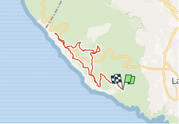

Length
9.1 km

Max alt
380 m

Uphill gradient
461 m
Km-Effort
15.2 km

Min alt
137 m

Downhill gradient
462 m
Boucle
Yes
Creation date :
2022-01-28 08:21:24.121
Updated on :
2022-01-30 08:35:23.564
6h09
Difficulty : Medium

FREE GPS app for hiking
 SityTrail
IGN / Geographical institutes
SityTrail Plus
The world is yours!
About
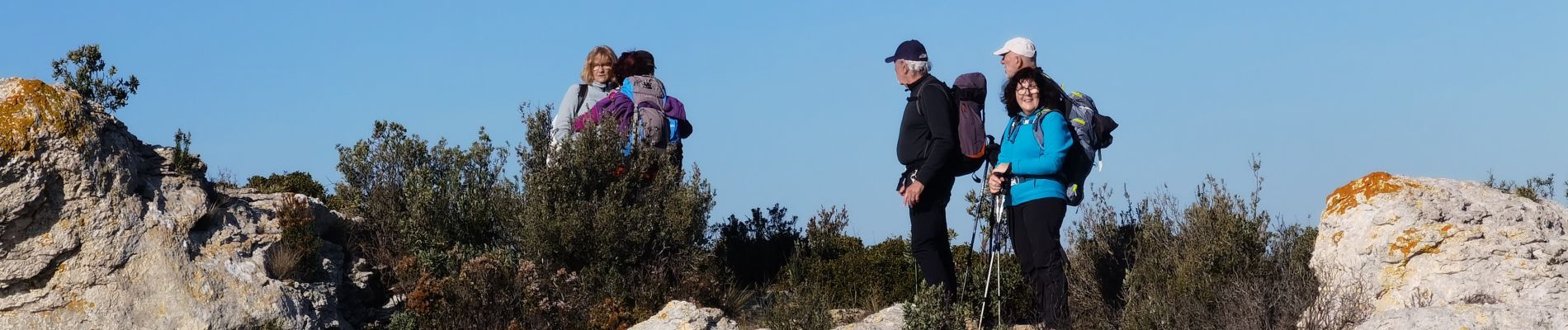
Trail Walking of 9.1 km to be discovered at Provence-Alpes-Côte d'Azur, Bouches-du-Rhône, La Ciotat. This trail is proposed by bernir.
Photos

Positioning
Country:
France
Region :
Provence-Alpes-Côte d'Azur
Department/Province :
Bouches-du-Rhône
Municipality :
La Ciotat
Location:
Unknown
Start:(Dec)
Start:(UTM)
709977 ; 4783309 (31T) N.
Comments